
|
|
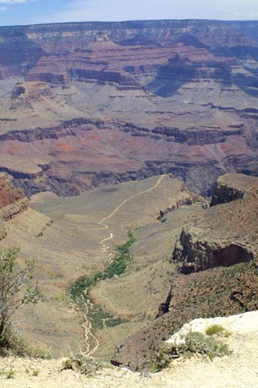
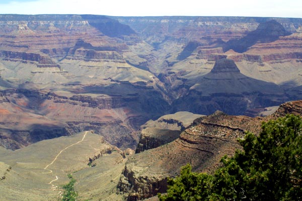
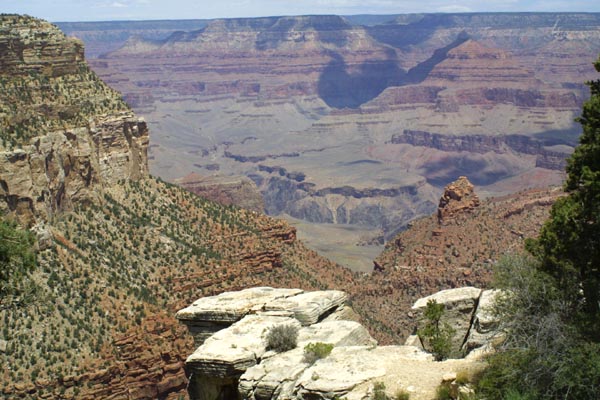
As can be seen, much of the area at the bottom of the canyon is impassable,
except for a number of trails cut through passes, and built into cliff areas.
Even in areas which are relatively flat and easily navigated, going off the
trail risks getting one hopelessly lost. |
|
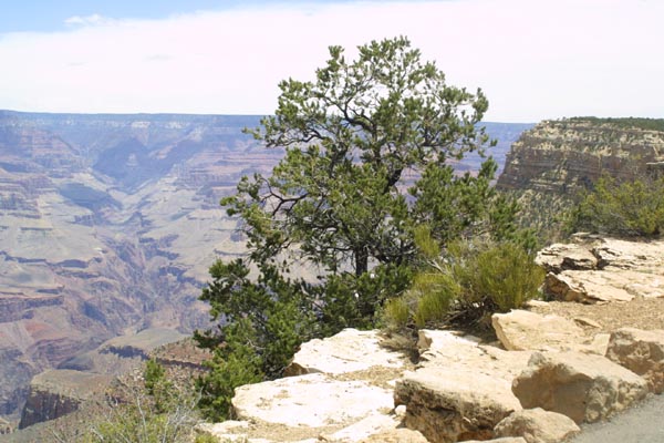
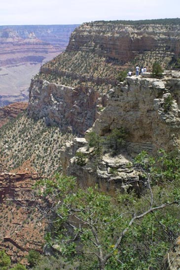
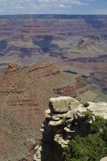
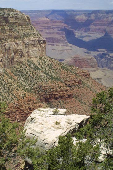
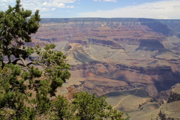
A typical view over the canyon, from one of the rim walks.
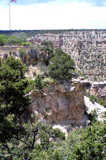
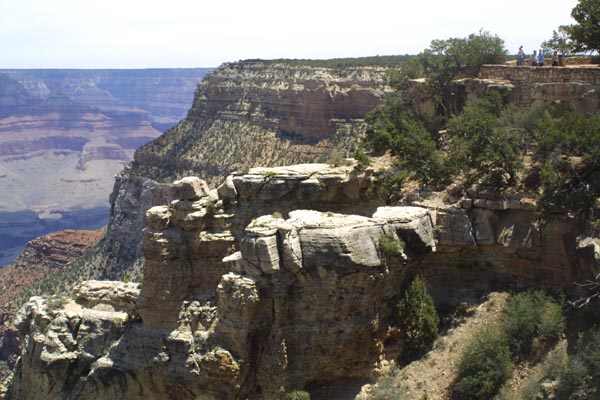
Below Right:
Some boys (of course) have climbed out onto one of the solitary spires near
the edge of the canyon. I wonder if they managed to get back. Perhaps they
are still there.
|
|
|
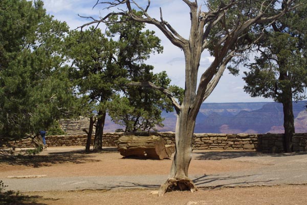
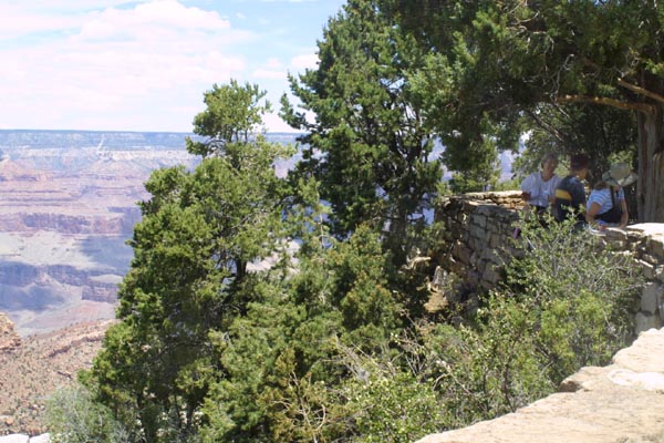
A partially shaded rest area welcomes visitors along one of the rim
trails. |
|
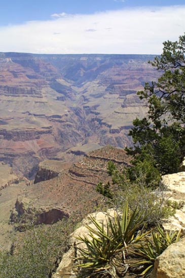
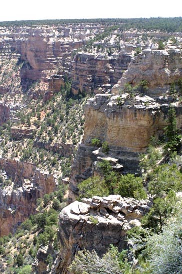
The canyon wall, as seen from the rim near Canyon Village. |
|
|
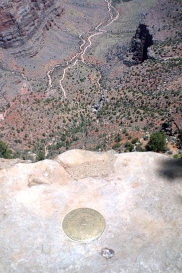
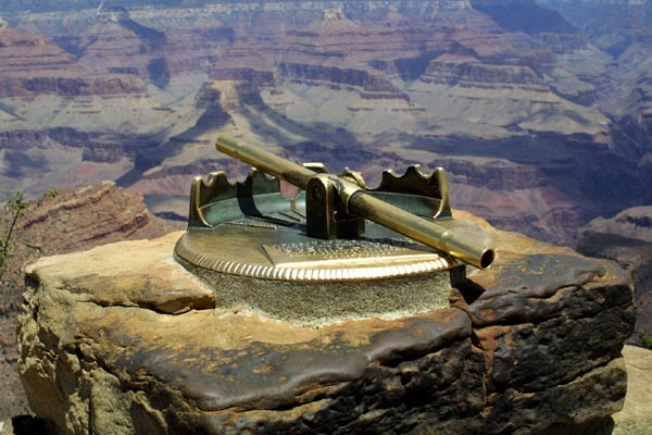
Looking out on the low lands, over a bench mark. The "coin" set in
stone is marked with the exact position for survey purposes. |
|
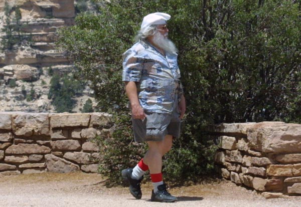
In case you ever wondered where Santa Claus goes on his vacation,
now you know. It makes sense actually, the North Pole can get mighty cold;
this must be a refreshing change of climate. Note the red and white socks. |
|
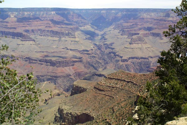
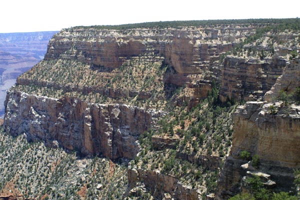
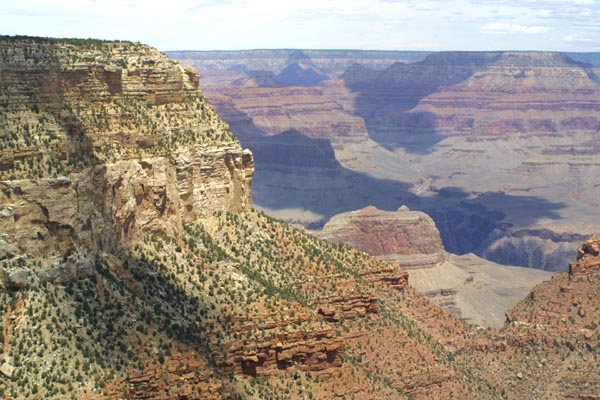
A cliff in the foreground is part of the canyon rim. many equally
impressive structures can be seen off in the distance. Over the years erosion
has separated these structures, and increased their distance from the rim. |
|
A scenic locator. Several of these instruments were donated to the
park, and installed in the twenties. The mount is original, but the brass
tubes are constantly being replaced due to theft. The brass finder is a simple
tube, with no magnifying optics. The tube can be aimed at several of the park's
more famous structures, so that they might be identified. |
|
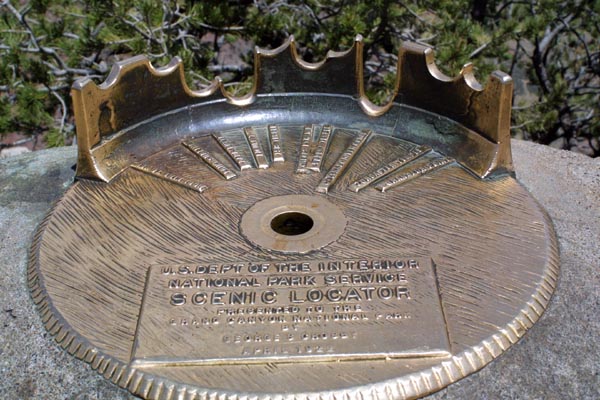
The same unit with tube removed (only temporarily, I assure you) so
that it's operation can be seen. The brass mount has guides in which the
tube is rested, according to the structure you wish to identify. Various
structures are labeled beneath the guide cut outs. |
|
|
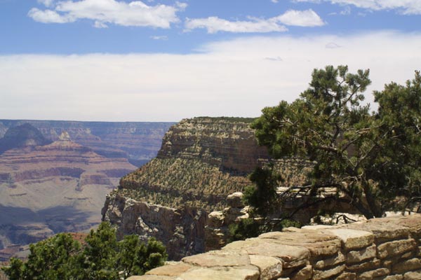
Tourists perch comfortably in a low walled terrace. In front of them
natural rock terraces reach out into the canyon, while in the background
one of the ever present cliffs looms. |
 `
` |
The nearly unspoiled preserve of the lower canyon areas is marked
only by the occasional trail. This was not always a given. In the early
part of the twentieth century, a survey was taken of the canyon floor, in
preparation for the building of a road along the Colorado. This is the type
of thing that horrifies the modern environmentally conscious citizen of fragile
planet Earth, but nature was still considered an enemy to be conquered. |
|
Part of the survey effort was the production of a photographic record
of the bottom of the canyon. Photos were taken every mile. Nearly 100 years
latter, the journey was retraced, and photos taken at the same spots, to
record 100 years of change. Virtually no changes were visible. What is remarkable
is that even the plants were the same. There is no doubt that the same plants
still live at the bottom of the Grand Canyon, having grown, at most, a few
inches in 100 years. A book of comparison photos is available at the park. |
|
View from the terrace. These stone walls are common all over the park,
and were built by the CCC in the thirties. |
|
A former wall across this section of the canyon has ben eroded away,
and separated from the canyon rim. |
|
People gather in the shade of one of the many terraces built along
the rim in the twenties and thirties. |