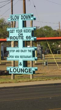
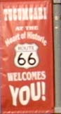
Welcome to Tucumcari
| Back to Travel | Back to Grand Canyon Home | Back to Home |
|
|
|
|
Welcome to Tucumcari |
|
|
|
|
|
|
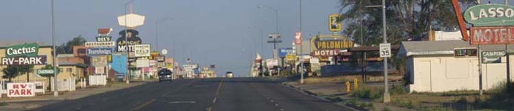
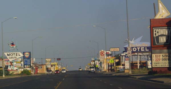
A shot up and down the main drag of Tucumcari. This place has been famous since at least the thirties as the definitive road town. Today it's glory is a bit faded, but it is still a fascinating place. |
|
|
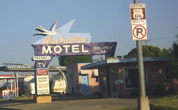
The famous Blue Swallow motel, now under new ownership, has been an icon of old Route 66 for decades. |
|
|
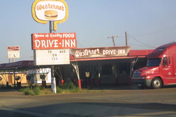
Now out of business, the Westerner was known lately to have some of the worst food on the road. Harkening back to the days when food on the road could be hit and miss, I can only hope that the quality had at one time been better. |
|
|
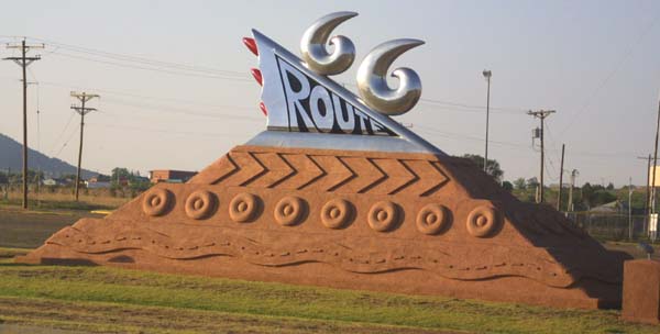
A monument to Route 66, executed partially of red stone in tribute to the many red rock formations in this part of the country. |
|
|
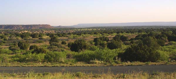
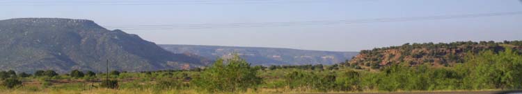
Outside of Tucumcari, you are quickly back in the middle of nowhere. |
|
|
|
|
|
|
|
|
|
|
|
|
|
|
|
|
|
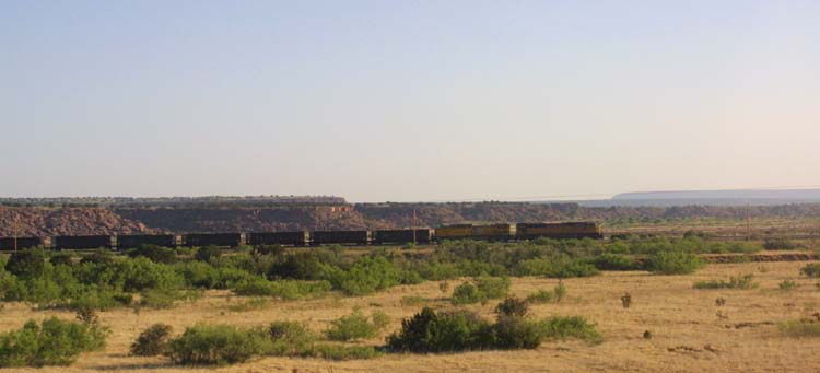
Railroad tracks are very much in evidence, and trains abound, but there is little settlement here. |
|
|
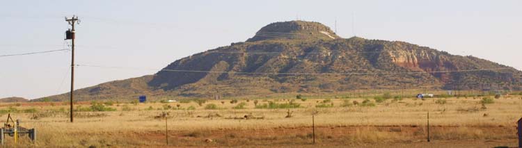
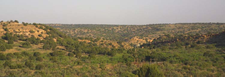
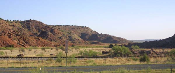
A scrub covered ridge. This is a common feature out here. |
|
|
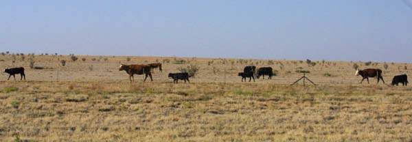
New Mexico has cows too. Ranching, mining, and tourism are the big staples of the economy here. Another big player in the economy is the military. There is relatively little commercial or manufacturing activity here. |
|
|
|
|
|
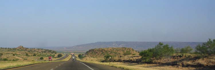
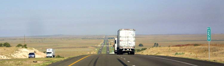
Our friend, the road. Without these transportation slabs, it would be as if man were never here. |
|
|
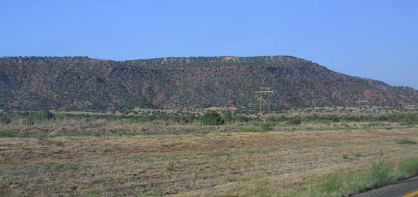
More ridges and scrub, off the road a bit. |
|
|
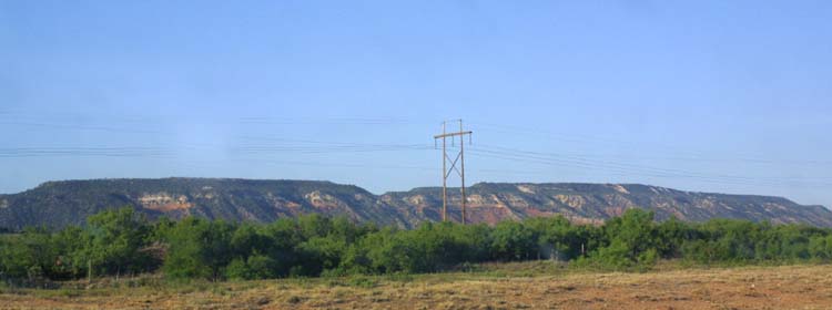
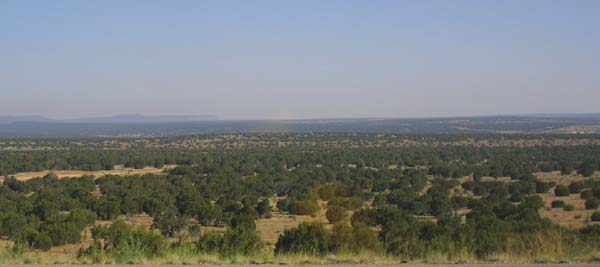
Arid, semi desert land, also known as steppe. This goes on for miles, until the beginning of the mountains. |
|
|
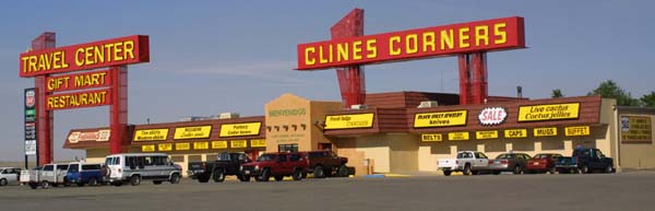
A classic Travel Center/rest stop/tourist trap. This is the ultimate 60's/70's development of the concept originated in the 40's and 50's. |
|
|
|
|
|
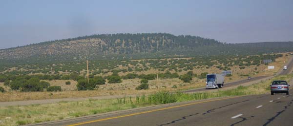
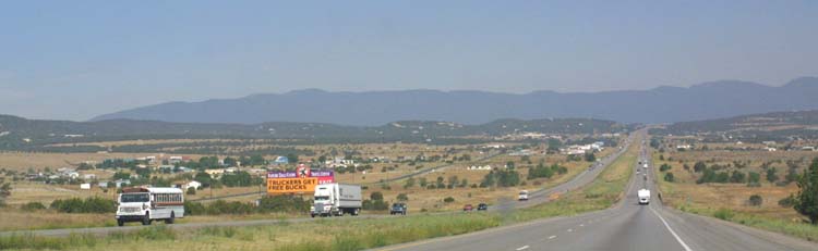
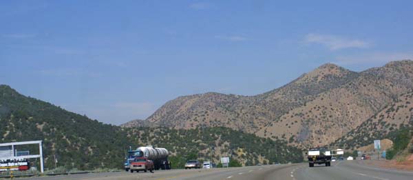
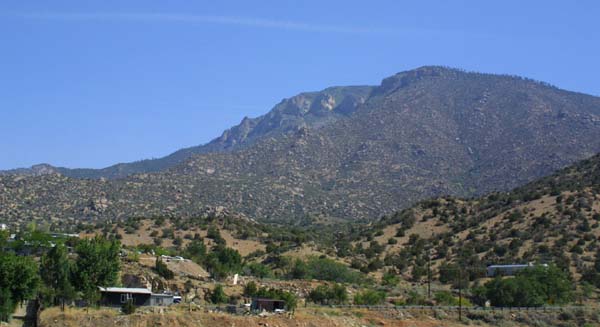
Our first views of the Sandia Mountains, home to Albuquerque, and the Rio Grande river and valley. |
|
|
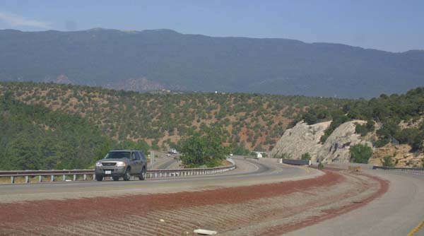
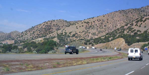
Heading up into the Sandia's themselves. |
|
|
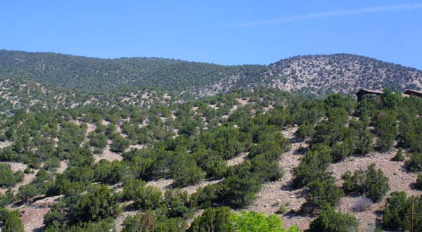
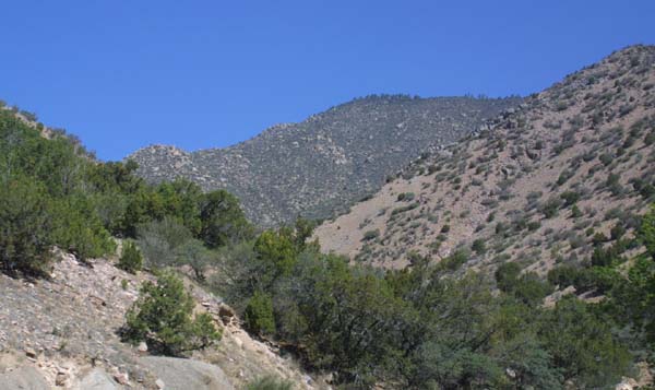
Though seemingly parched, these mountain foothills are already cooler, and better watered than the arid regions through which we have just passed. |
|
|
leveling off at a mountain pass, we will now start down. |
|
|
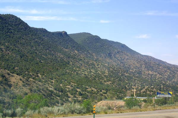
A look up the side of part of the Sandia range. |
|
|
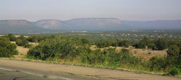
These are the driest mountains I have ever seen, there is no sign of snow or of the expected mountain streams. |
|
|
On the verge of entering Albuquerque, there are already signs of building. The town is a comparative oases out here in the arid New Mexico steppe. |
|
|
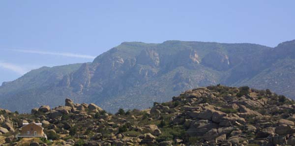
This pile of rocks is larger than it might appear at first glance. Look closely at the lower left hand corner, and note the house built on the side of the hill. These rocks are BIG. |
| Back To New Mexico | Forward To New Mexico Desert |