|
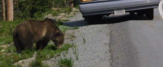
A bear, spotted near the eastern entrance to the park. In all of
my trips here, this is the first bear I have ever seen. |
|
The shape of the face, and particularly of the muzzle, shows this
to be a grizzly bear. |
|
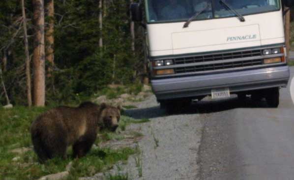
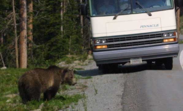
One last look at the grizzly as he glares out at traffic. What does
not show in this photo is the back up of traffic caused by tourists (myself
included) stopping to see the bear. Rangers call such back ups "bear jams." |
|
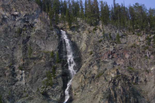
A little water course trickles down the side of the mountain as we
begin our descent out of Yellowstone, into the Valley. |
|
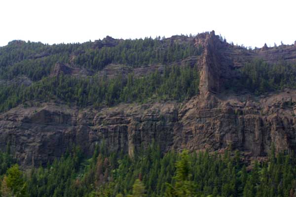
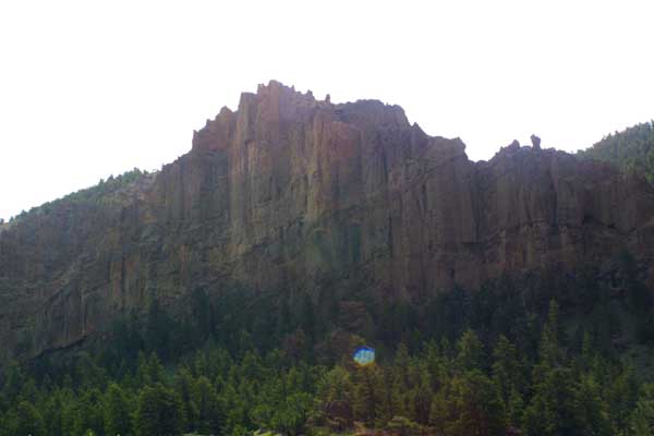
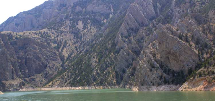
Huge cliffs tower over us, as we descend farther into the valley
formed by the Shoshone River. |
|
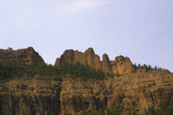
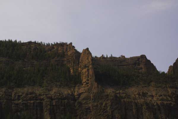
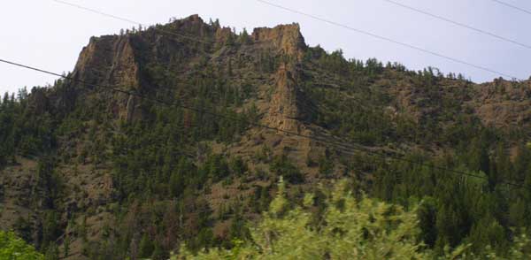
Spires and jagged peaks surround us on both sides. |
|
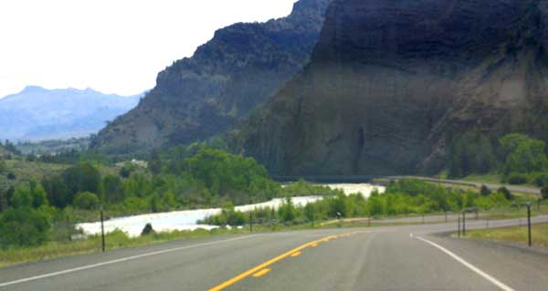
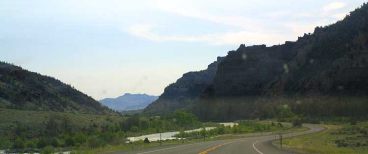
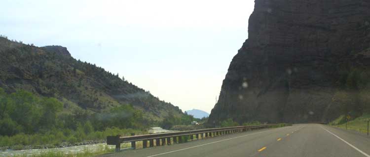
We are traveling along the intersection of highways 16,14, and 20
through Shoshone Canyon. This highway closely parallels the north fork of
the Shoshone River. |
|
In leaving Yellowstone and coming down into the valley, we have descended
over 2000 feet. We are now about a mile above sea level, rather than the
mile and a half of most sections of the park. |
|
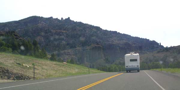
A motor home slogs along in front of us on the twisty valley road.
I can only assume that these vehicles are a nightmare to maneuver in the mountains,
and over twisty two lane highways. I have been on this same road several
times, in vehicles ranging from a motorcycle to a van, but have never attempting
it in anything so large. |

|
Leaving Yellowstone, we are traveling through the huge natural reserve
known as the Shoshone National Forest. |
|
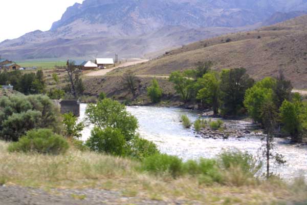
The Shoshone takes one of it's many turns. These low areas are wonderfully
forested and filled with little hunting, and fishing lodges in addition to
camp grounds, and resorts. |
|
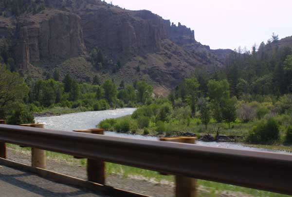
The Shoshone River descends quickly, giving it the power to carve
out this magnificent valley in the mountains. |
|
A look up one of the surrounding slopes shows tree going all the
way to the top. They all end below the tree line. Most of these mountin
tops are actually below the level of Yellowstone Park. |
|
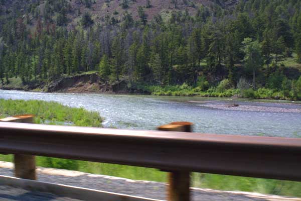
More of the wild Shoshone River. Shallow, broad swiftly flowing and
filled with rapids, this seems the very essence of the mountain stream. |
|
faults, and incongruities are visible in the face of this cliff. |
|
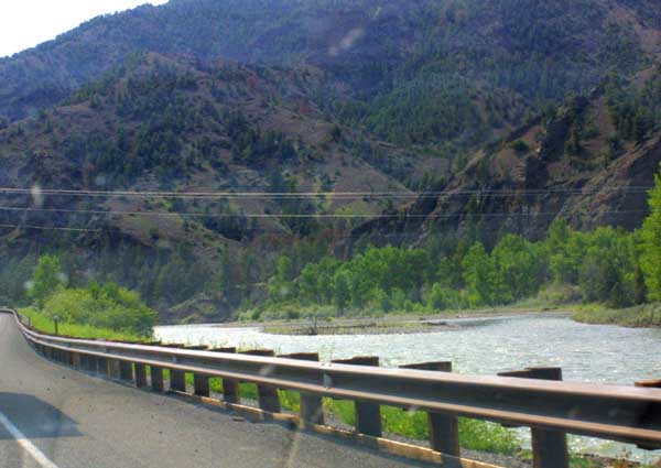
The road follows the twisting path of the Shoshone River as it winds
through the mountains. Some far off summits peek through the passes of some
nearby mountains. |
|
|
|
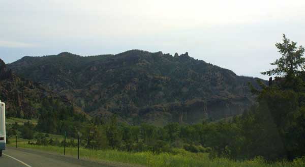
A look at some of the mountains running alongside of us. |
|
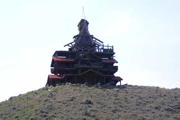
I have no idea what this is. A pagoda, a windmill. a big bird cage?
I may never know. I would appreciate an email from someone who can tell me. |
|
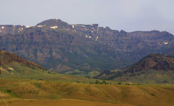
Approaching the Absarokas. We will soon be climbing out of this valley.
The Shoshone River still cascades down beside us. |
|
The other side of this mountain dominates the sky line of Cody, Wyoming.
This is one of my favorite cities in the west. A few more twists in the road,
and passage through a series of tunnels will get us there. |
|
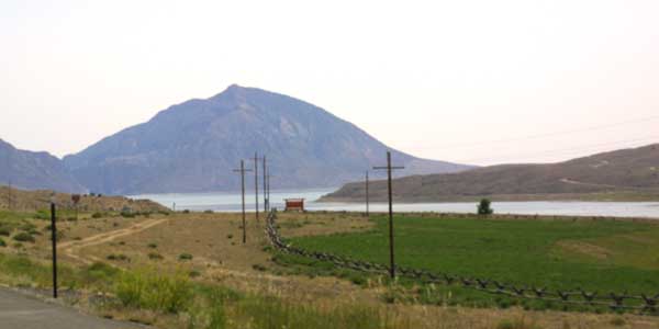
A look across at part of Buffalo Bill State Park. |
|
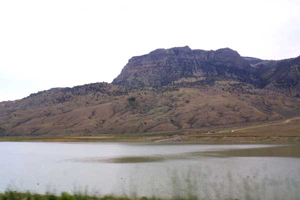
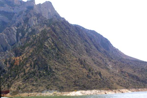
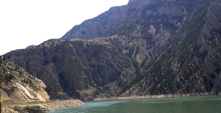
Several views of the other side of Cedar Mountain, which rises over
Cody Wyoming. On this side, it looms over the Buffalo Bill reservoir. |
|
|