Cody
Wyoming
|
|
Cody Wyoming |
|
|
|
|
|
|
|
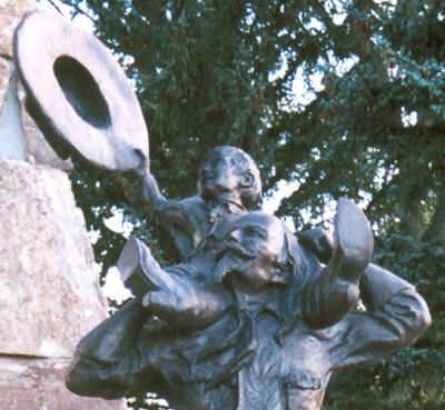
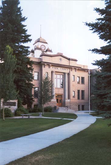
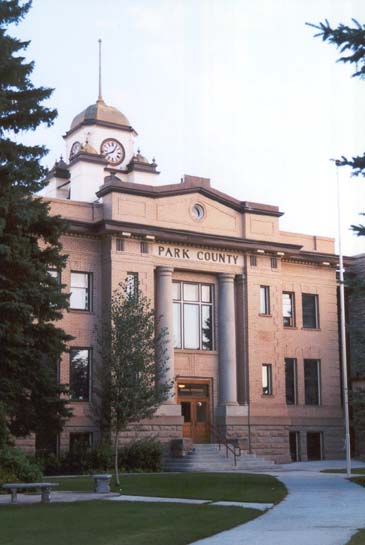
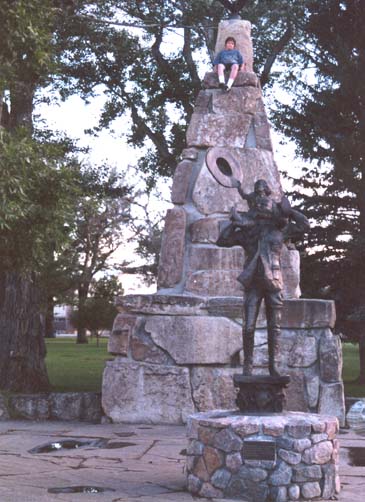
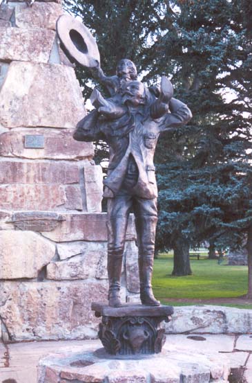
Above: Views of the Park County courthouse, along with the bronze statue, and monument to Buffalo Bill. This is set in what is essentially a town square. |
|
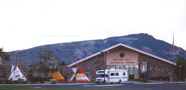
The Buffalo Bill Historical Center. This place is full of exhibits and information on Native Americans, cowboys, explorers, and western history in general. |
|
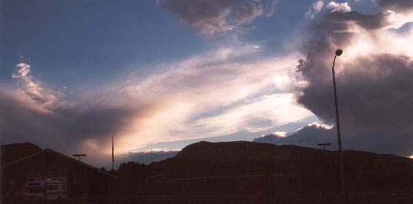
The sun sinks beneath the mountains. It is not yet night time, and will not be so for a while. The sky remains blue, but the sun is gone. |
|
What could I possibly say about this sunset. Sites like this are common up in the mountains. |
|
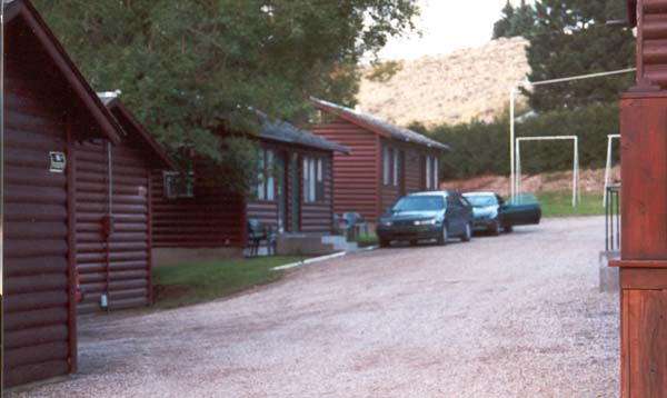
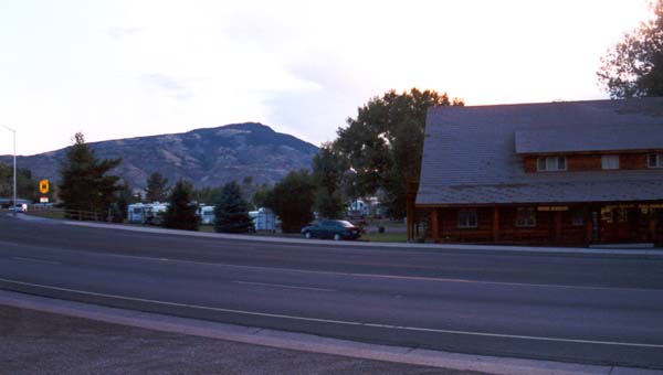
Our home for a couple of nights. This is like one of the classic motor courts from the fifties, and sixties, and is run by three generations of exceptionally nice ladies. |
|
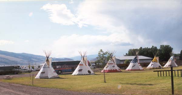
Teepees on the lawn of the Buffalo Bill Historical Center. You can pay a fee to camp overnight in one (I have promised myself to do this on my next visit). |
|
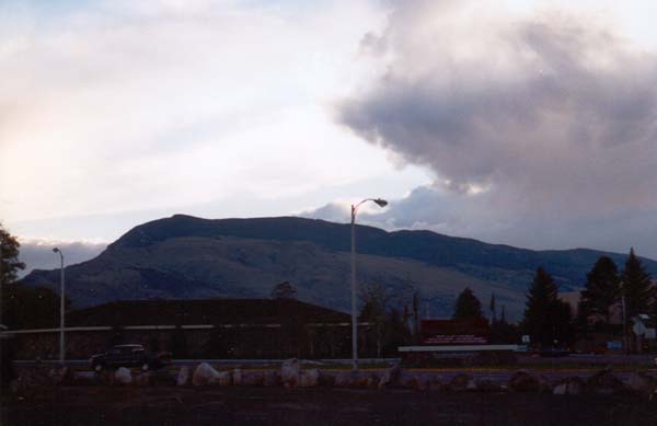
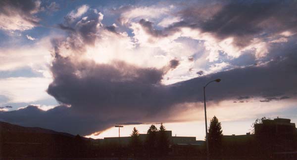
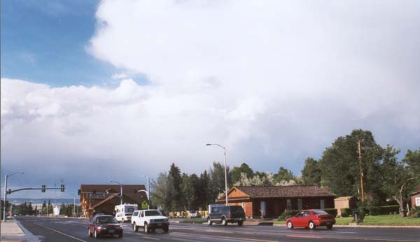
More clouds, over the edge of town. The frequent rains here are caused by updrafts over the mountain. This forms a rain shadow which is responsible for the comparative dryness of the basin area below. |
|
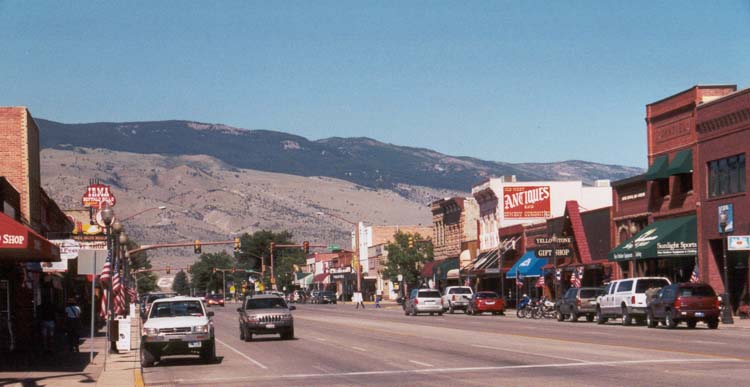
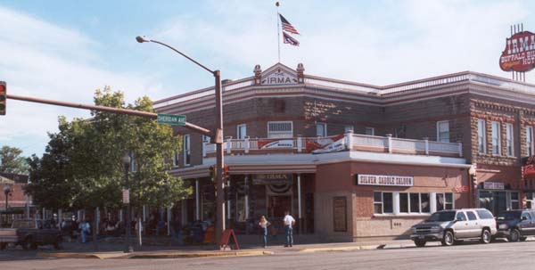
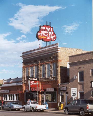
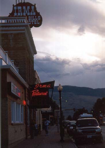
A number of views of the landmark Irma Hotel. This was Buffalo Bill's preferred residence, when he was in this area. |
|
|
|
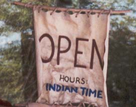
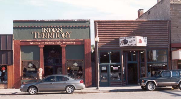
Indian and Buffalo products stand side by side in specialty shops. I love the west. |
|
The road out of town. A mile up the road is Stampede Park, where the nightly Cody Rodeo is hosted. A few miles more, takes us up into the mountains, and then up into dam and reservoir. |
|
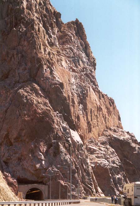
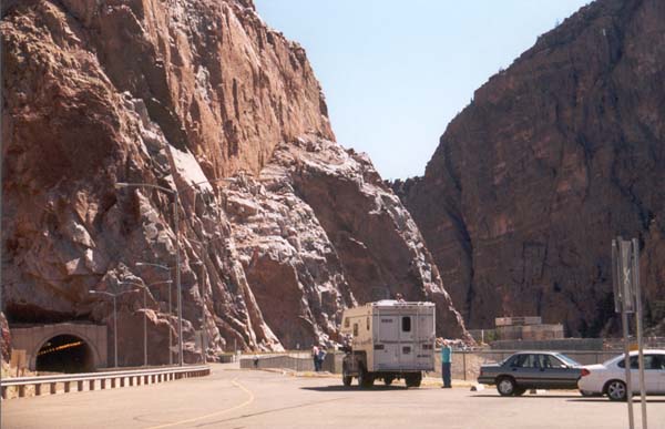
A series of tunnels take us through the backside of rattlesnake Mountain. This is the same mountain that dominates the Cody skyline. Passing through these tunnels takes us to the Dam and reservoir, which adjoin a state park. We are maybe ten or fifteen minutes west of Cody. |

|
A road cut through rattlesnake Mountain, and a huge slab of stone, looking ready to drop, sit just past the tunnel mouth.. |
|
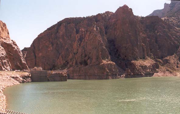
In the foreground is rattlesnake Mountain, and it's tunnel, in the background is Cedar Mountain. A bit of the dam can be seen between them. |
|
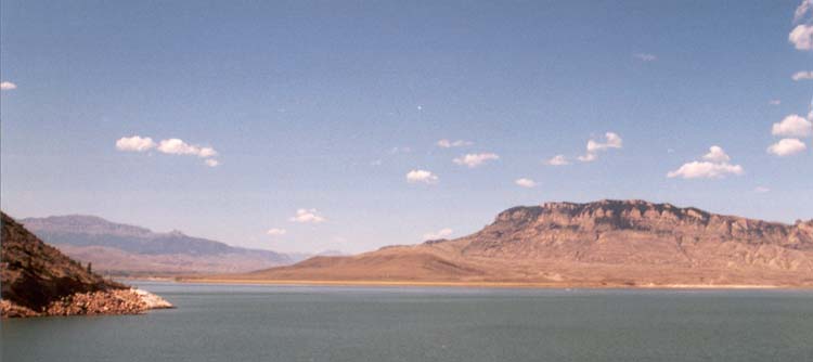
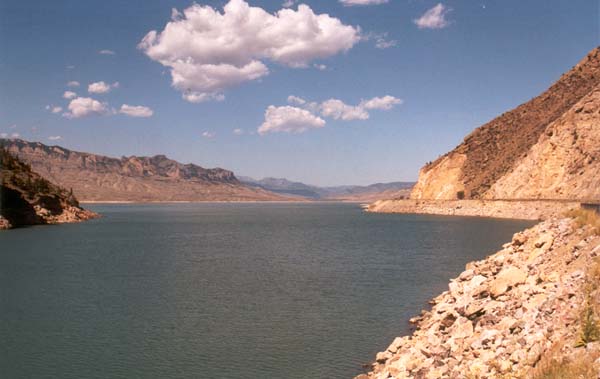
Looking across the head of the reservoir straight at Cedar Mountain. A little piece of Rattlesnake Mountain is visible off to the left. The dam is hidden behind an out thrust arm of rock. We are actually high up in the mountains, over what used to be a rocky mountain valley. The dam has raised the waters, giving the illusion that we are much lower down. We are just over a mile high here, which puts us about 300' above the level of Cody. |
|
|
|
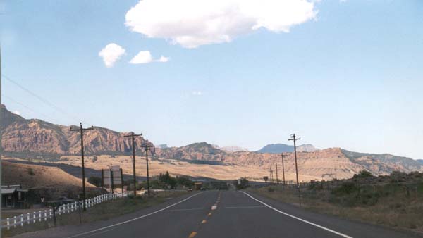
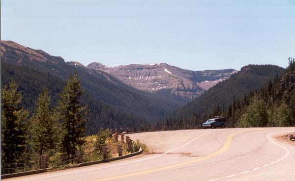
Looking west down the road that will take us through mountain passes, and twisting alpine highways to Yellowstone Park. We probably have about an hour to go. |
|
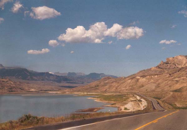
A look down the reservoir. This eventually thins out into the Shoshone River, once through the higher areas and passes. A roadway can be seen twisting it's way along the base of the mountains to the right of the photo. This is the highway we will be taking. |
|
Down into the valley formed by the North Fork of the Shoshone River. |
|
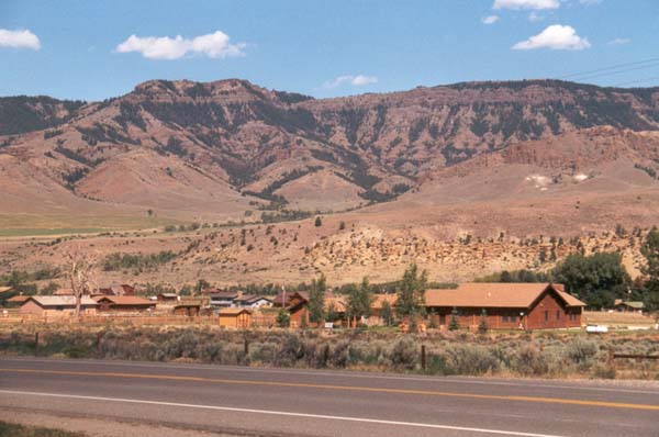
There area a fair number of ranches, and road side services bow being built here, so this area no longer seems the desolate place it was when I first visited. Still, it is hardly what anyone would call populous. |
|
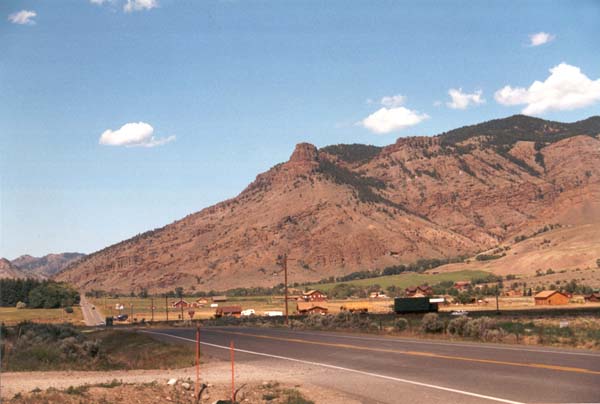
Another ranch, and a few cabins dot the landscape, which is mostly bare. We passed only a single service station in the whole valley. |
|
Once again we climb, this time into the ring of mountains which hold Yellowstone Park like a pebble in the palm of a hand. |
|
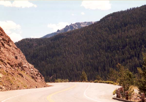
A look back from whence we came. we will climb until we hit the east entrance of the park, and then continue climbing beyond, until we hit Sylvan Pass. |
|
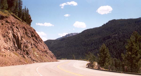
A long view over the mountains back towards Cody (we are looking east here). |
|
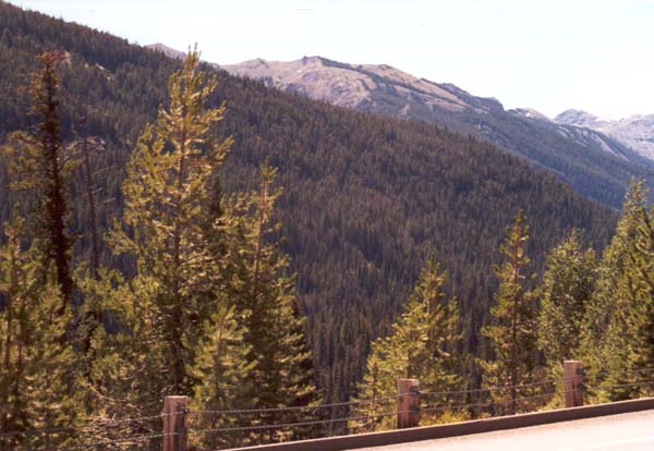
A long view over the mountains. Note the lack of any shoulder, and the post and cable guards on the edge of the highway. They are not confidence inspiring. |
|
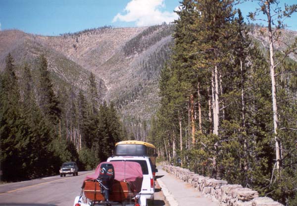
Welcome to yellowstone. We are not quite inside yet, but it is just a few miles down the road. A low rock wall offers a bit more reassurance than the post and cable guards which had been our companions through most of these roads. |
| Back to Cody | Forward to Yellowstone Park |