|
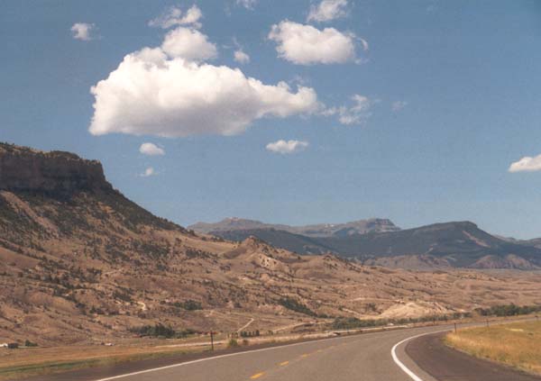
Some of the hilly areas edging the basin area. we have not yet
really began our climb. Powder river pass has an elevation of just under
10, 000 feet (9666) to put this in perspective, Buffalo, at an elevation
of 4645, is only 25 driving miles from the pass. tensleep, on the other
side, is slightly closer and sits at only 4206 feet. |
|
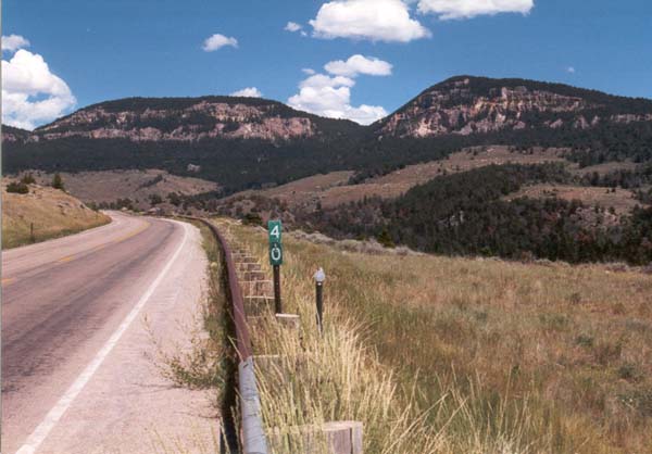
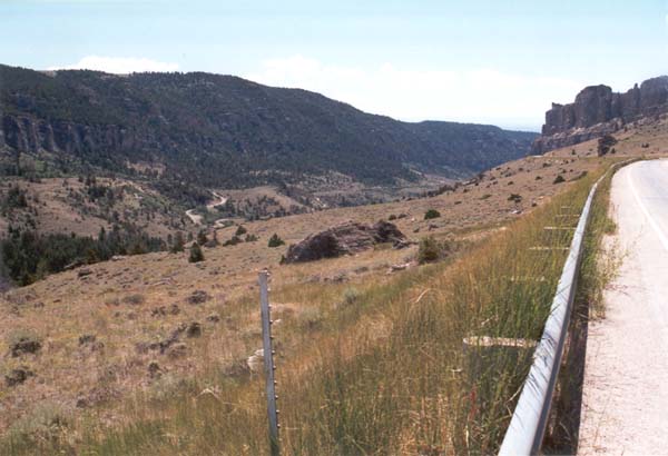
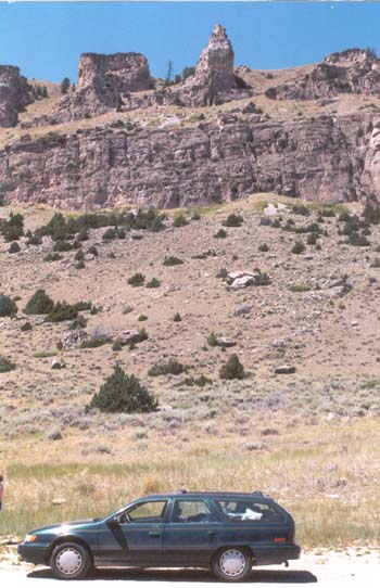
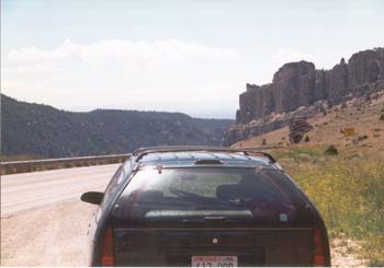
Stopping at a scenic pullout, though any pullout in these regions
could probably be considered scenic. |
|
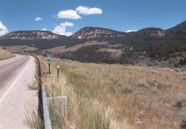
Looking the other way, a bit further up the road. |
|
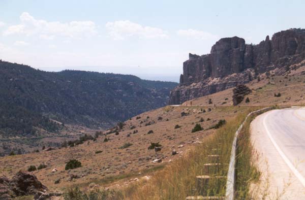
A shot down into the canyon itself. |
|
Another view from the same spot. |
|
Just one more, looking up the road. |
|
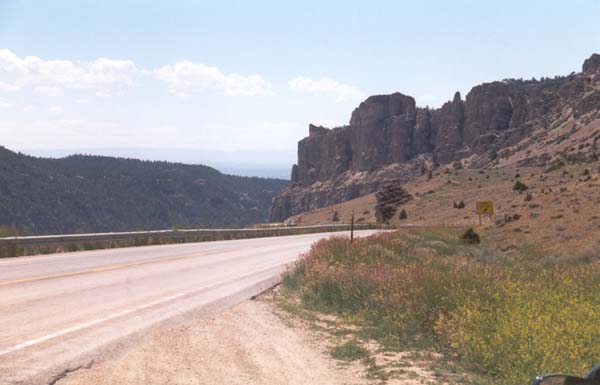
The Big Horn Mountains. Well, part of them anyway. |
|
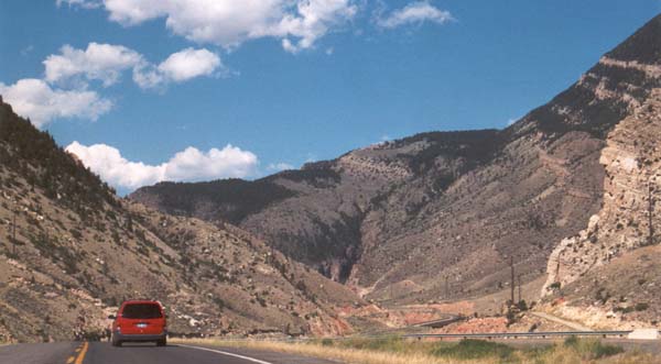
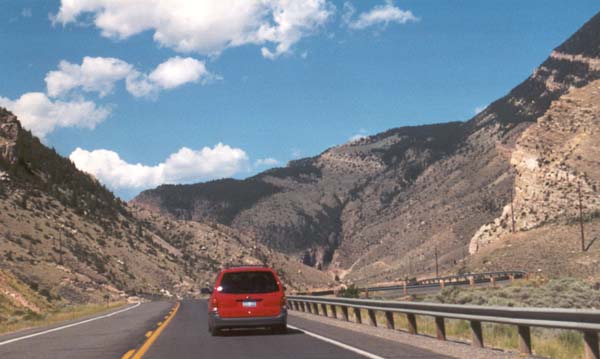
Starting to head up into the mountains. |
|
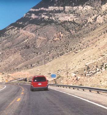
If they can do it, so can we. |
|
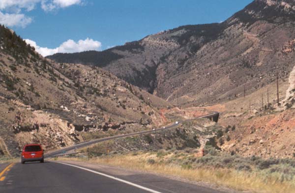
Climbing, climbing. My car did not like these roads, and
I occasionally had problems with stalling or vapor lock. |
|
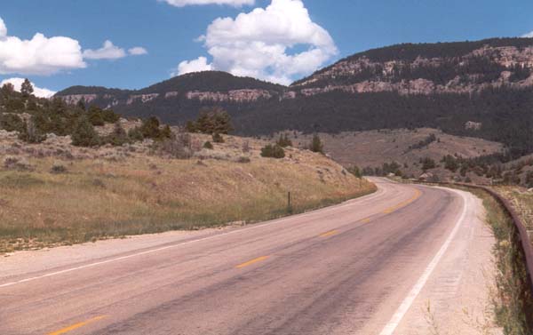
A turn into Tensleep Canyon. |
|
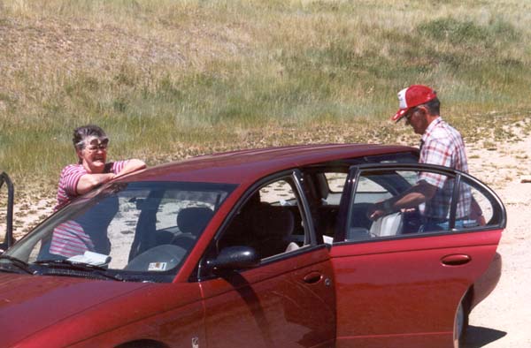
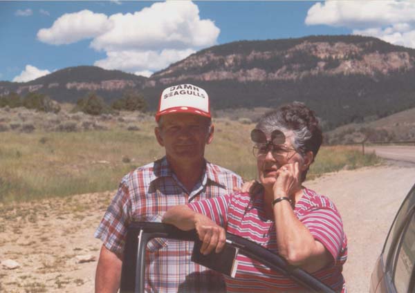
We had been unintentionally following this couple for miles, all
the way from Buffalo. it was only polite then, to stop at a pullout and
introduce ourselves. |
|
Posing for the cameras, well sort of. one of the reasons for the
stop was that they were losing oil, and were uncertain about the reliability
of their car. |
|
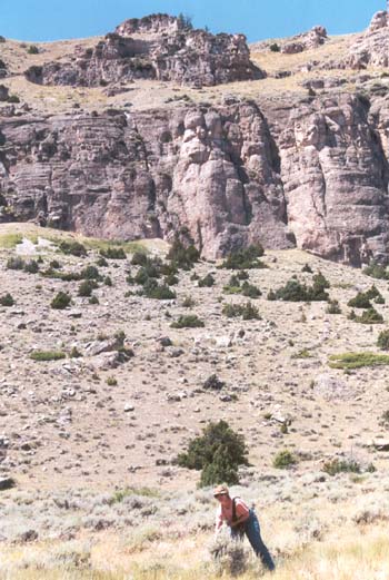
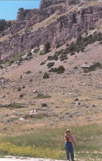
 Stopping by the side of the road to gather sage. It was growing all
around us as we passed through these mountainous areas. Apparently is was
in season, as my friend megen gathered a fair amount of it. My whole ar
smelled of the stuff, by the time we got back. Actually, it smelled pretty
good, and hey, my car has smelled of worse stuff. We would have tried our
hand at using it to sweeten a few of our campfires, but in many places,
no fires could be lit because of the dry season.
Stopping by the side of the road to gather sage. It was growing all
around us as we passed through these mountainous areas. Apparently is was
in season, as my friend megen gathered a fair amount of it. My whole ar
smelled of the stuff, by the time we got back. Actually, it smelled pretty
good, and hey, my car has smelled of worse stuff. We would have tried our
hand at using it to sweeten a few of our campfires, but in many places,
no fires could be lit because of the dry season. |